...
- Use the 'Primary symbology' drop-down menu to select Unique Values.
- Use the 'Field 1' drop-down menu to select Name.
- In the Contents pane, collapse the Census_2010_By_Superneighborhood symbology.
...
- On the ribbon, click the Insert tab.
- In the Project group, click the New Map button.
- At the bottom of the Geoprocessing pane, click the Catalog pane tab.
- Create a new Map called Rename My Neighborhood and add MyNeighborhoods, BusStops and BusRoutes.
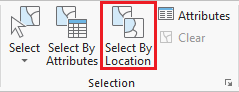
- In the Selection group, click the Select By Location button to open the Select Layer By Attribute tool in the Geoprocessing pane.Select bus stops within neighborhood.
- Select bus routes within 100 ft of bus stop in neighborhood.
...