...
- On the ribbon, click the Imagery tab.
- In the Contents pane, click the aerial.jpg layer to select it. If it is not selected, then most options in the Imagery tab will be grayed out and unavailable.
- On the Georeference tab, click Click the Georeference button to open the Georeference tab.
...
- In the Table of Contents, uncheck the parking and sidewalks layers to make the aerial image easier to view.
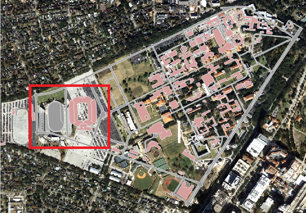
- Visually, identify the football stadium in both the aerial layer and the buildings layer.
Hold down Shift and your cursor should switch from a pointer finger to a magnifying glass with a plus sign.
On the Tools toolbar, click the Zoom In buttonInfo If you don't see the proper cursor, then you may need to re-select the Explore button on the Map tab in the ribbon
.
- On the western portion of campus, click and drag a box around the football stadium in both layers to zoom into the area in which you will add your first control point.
- In the ribbon, on the Georeference tab, On the Georeferencing toolbar, click the Add Control Points button. Your cursor will change to crosshairsa crosshair.
- Click on the southwest corner of the upper deck of the stadium in the aerial layer.
...