...
- Using a web browser, search for "tceq gis data hub", and click on the link shown below. Alternatively, go directly to their website here: https://gis-tceq.opendata.arcgis.com/
- In the "Search data" box, type in "Wastewater" without pressing "Enter".

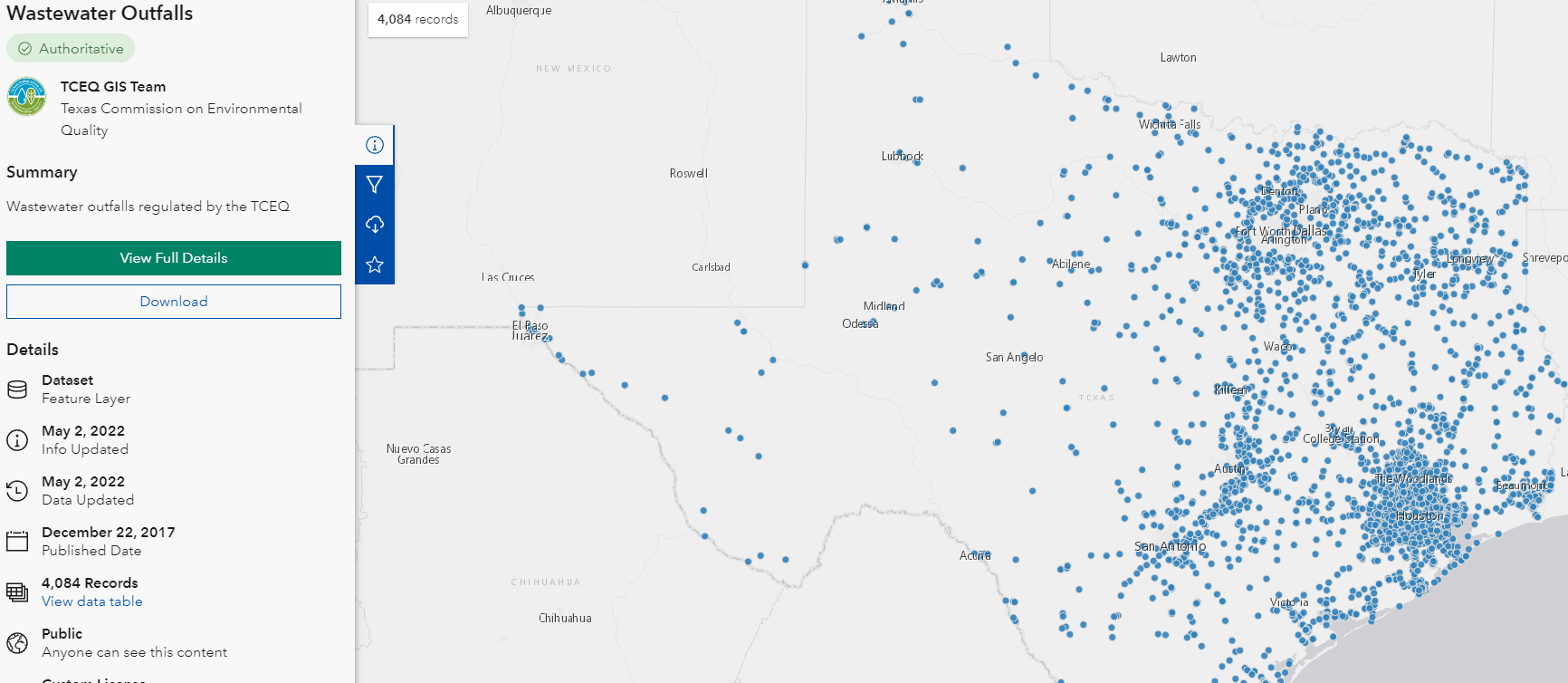
- The option "Wastewater Outfalls" should pop up - click on this option.

- Now, we can see the wastewater outfalls in Texas depicted on a map. We want to access this data in the form of a shapefile. To do this, we follow the same download procedures as with the "Major Rivers" dataset, which should result in a zip file titled "Wastewater_Outfalls.zip".
HCAD
Though it is not used in this course, the Harris County Appraisal District (HCAD) Public Data is another great online source that provides similar data such as highways, utilities, and water districts and is available at: http://pdata.hcad.org/GIS/index.html
...