...
Since you’ve exported the particular subwatersheds of interest, you may now remove the master Subwatersheds layer from your map document.
- In the Contents pane, right-click the Subwatershed layer and select Remove.
...
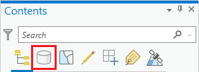
- At the top of the Contents pane, click the List By Source button.
The Data Source tab displays the full file path locations of all the data layers referenced in your map document. By default, the map document will store this full file path to all of your data files. Notice that the majority of layers are still stored in the originally downloaded NFIEGeo_12 geodatabase, but the SubwatershedsNew layer you just exported is now stored in your HydrologyLab project geodatabase.
- At the top of the Contents pane, click the List By Drawing Order button to return to the list of data layers.
Geoprocessing: Dissolving features
...

