...
Notice when you move your cursor around the map, the coordinates listed in the bottom of the map view are similar to those shown below, indicating that Houston is located at 95°W, 29°N in NAD 83 in decimal degrees.

While those coordinates are being displayed for general reference purposes, recall that the XY coordinates for data in the State Plane projection is are actually stored in feet. You will now change your map view to display units in feet, so that you can see the actual XY coordinates stored in your data.
...
- Use the 'Display units' drop-down menu to select US Feet and click OK.
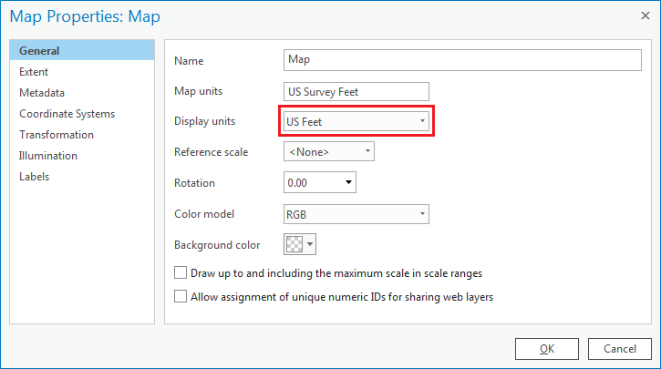
Notice Now, notice when you move your cursor around the map display, the coordinates listed in the bottom right of the window map view are similar to those shown below, indicating the location of Houston in the State Plane coordinate system with units of millions of feet.
...
It is evident that both layers are being drawn in the data framemap, but ArcGIS simply does not know how to line them up properly. Notice when you move your cursor around the map display now, the coordinates are similar to those shown below, indicating units around -95 95W and 29 29E feet.

Whenever you come across X-coordinates between -180 and 180 and Y-coordinates between -90 and 90, you can be fairly sure that they are actually geographic coordinates of latitude and longitude listed in decimal degrees. The fact that you previously observed that Houston is located at 95° W, 29 N° is further confirmation that the county layer was created in a geographic coordinate system, rather than a projection. In this case, ArcGIS is treating these measurements of coordinates in decimal degrees as if they were measurements of coordinates in feet in the State Plane Texas South Central System, with the end result of locating Harris County near the 0,0 origin of the coordinate system in the middle of the Pacific Ocean within a single square foot.
- Right-click the MajorRoads layer and select Zoom to Layer.
...
Of the three feature classes you examined, the County feature class was the only one that was undefined. Since the spatial reference information cannot be located using ArcGIS, you must turn to the source of the data itself. The data was originally downloaded from the following website: http://www.esri.com/data/download/census2000-tigerline. A , which is no longer available. A screenshot of the metadata provided on that website appears below.
...